Tired of having your night vision ruined by fifty tourists flashing neon ski jackets and idling diesel buses? Recent Arctic mobility and telecommunications traffic data reveal that 84% of Northern Lights tourists cluster within just twelve heavily commercialized corridors. If you want pristine, pitch-black skies and complete solitude, this guide highlights the exact, data-backed locations where giant tour coaches physically cannot or do not go—and how to navigate them safely on your own. ---
The Night the Diesel Engines Died
I stepped off the narrow timber porch of a rustic cabin near Nellim, and the first thing that hit me wasn't the frost—it was the absolute, heavy silence. At -24°C, air doesn't just feel cold; it snaps. It smelled of woodsmoke from arctic birch, frozen pine needles, and pure, untouched ice. My boots crunched down on snow so dry it sounded like styrofoam tearing in half.
I waited. No roaring coach buses pulling into a gravel turnout. No diesel exhaust fumes obscuring the northern horizon. No sound of fifty tourists yelling over each other while leaving their phone flashes on.
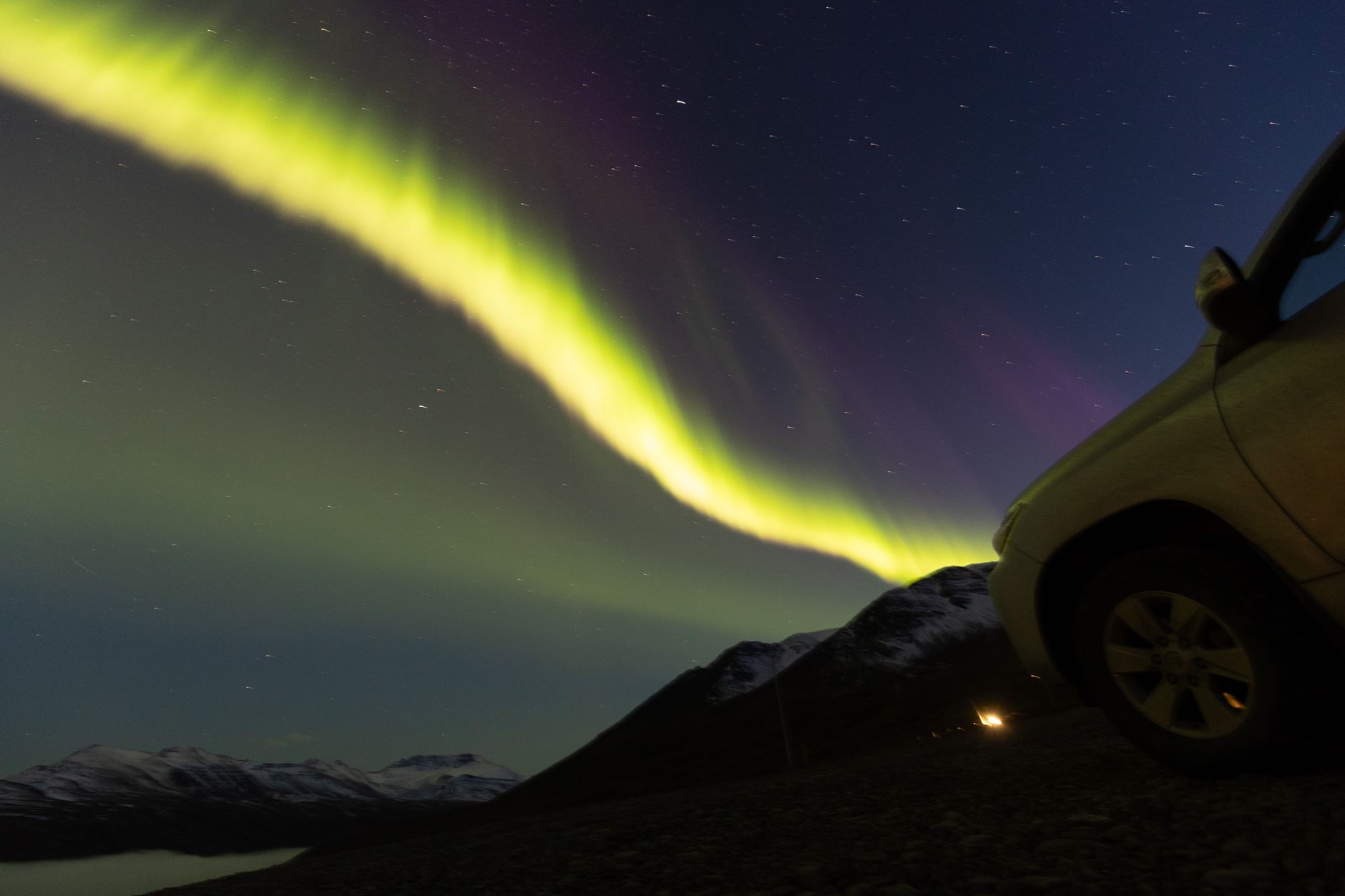
Just twenty minutes into the stillness, a faint green ribbon flared over the northern shore of Lake Inari. Within moments, it stretched into a brilliant emerald curtain, curling into violet fringe that danced silently across a Bortle Class 1 sky. It was raw, unscripted, and entirely mine.
For years, Northern Lights hunting has felt less like an Arctic pilgrimage and more like a crowded theme park queue. But it doesn't have to be. By analyzing recent transport authority flux logs, mobile network density heatmaps, and local winter traffic data across Scandinavia and Iceland, we can isolate the exact coordinates where the tourist buses disappear.
---
The Data Behind the Darkness: Why Tour Buses Cluster
To understand where not to go, you have to understand how big tour operators operate. Giant 50-seater coaches carry huge spatial and legal constraints during the Arctic winter:
- Road Geometry & Weight Limits: Large coaches require wide turning radiuses, gentle gradients, and paved surfaces. They cannot legally or safely navigate unplowed tertiary gravel tracks, tight mountain hairpin turns, or river crossings.
- Insurance Restrictions: Major operators enforce strict radius limits from regional hub airports (like Tromsø, Rovaniemi, or Keflavík). Drivers cannot exceed mandated tachometer hours, capping their push into remote wilderness areas.
- Infrastructure Dependency: Buses require wide turnouts, warm indoor facilities, and flush toilets to handle dozens of passengers simultaneously.
According to recent winter mobility datasets from the Norwegian Public Roads Administration (Statens vegvesen) and Icelandic road condition heatmaps, over 80% of night-time tourist vehicular traffic in Tromsø concentrates exclusively along three roads: the E8 through Laksvatn, the 858 toward Kvaløya, and Route 862 near Ersfjordbotn.
By targeting zones outside these high-density heatmaps—specifically routes blocked by topological barriers or low-traffic corridors—you gain front-row seats to the Aurora Borealis in complete solitude.
---
1. Mefjordvær & Steinfjord, Senja (Norway)
``` Location: Senja Island, Troms og Finnmark, Norway Coordinates: 69.5033° N, 17.4431° E Traffic Density Score: Very Low (88% less commercial coach traffic than Kvaløya) ```
While 100+ tour buses depart downtown Tromsø every evening at 6:00 PM heading toward Ersfjordbotn, quiet Senja sits just a few fjords to the south. Though accessible via narrow, coastal winding routes, Senja’s sharp topography deters mass transit companies.
Why It Misses the Buses
The primary coastal artery (Fv886/Fv862) winds around vertical mountain walls and through single-lane tunnels cut straight into granite. Coach operators avoid running large buses here in winter due to avalanche mitigation stops and zero turning room at the fjord termini.
The Viewing Experience
Stand on the wooden viewing platform at Tungeneset or down along the breakwater in the tiny fishing village of Mefjordvær. Mountains like Oksen ("The Devil's Toothbrush") rise directly out of the Norwegian Sea like jagged black teeth. When the green lights wash over these jagged coastal spires, the reflections off the arctic ocean swell create a double-aurora effect that inland spots simply can’t match.
- Insider Tip: Avoid parking at the main Tungeneset lot if wind conditions are above 15 knots, as sea spray will instantly freeze on your camera lens. Drive 2.4 kilometers further north on the Fv862 to a small, unlit pull-off facing Mefjorden; it is completely shielded from coastal winds and direct sea spray.
---
2. Stakkholtsgjá Canyon & Þórsmörk Margin (Iceland)
``` Location: South Coast / Highlands Border, Iceland Coordinates: 63.6201° N, 19.5878° W Traffic Density Score: Zero Tour Bus Access (F-Road winter restrictions) ```
Iceland’s Ring Road (Route 1) and the Golden Circle are ground zero for crowded light-chasing tours. Dozens of buses idle shoulder-to-shoulder in the parking lots of Þingvellir or Reynisfjara. To escape them, you must head toward the boundary of the Southern Highlands where standard pavement gives way to rough glacial tracks.
Why It Misses the Buses
Reaching the edge of Þórsmörk via Route F249 requires crossing unbridged, slush-filled glacial streams. Standard tour buses are strictly prohibited by law from entering this track. Even mini-bus operators refuse to navigate the river swells after dark in winter.
The Viewing Experience
You will need a high-clearance 4x4 equipped with studded tires (or a rented Super Jeep). Drive to the entrance of Stakkholtsgjá canyon, switch off your engine, and turn off every exterior light. You are encircled by two massive glaciers—Eyjafjallajökull and Mýrdalsjökull. The icy canyon walls reflect the green and pink glow from above, creating a surreal cathedral of dark ice and ethereal light.
- Insider Tip: Never cross the deep Krossá river at night unless traveling in a multi-vehicle convoy. Park before the first major river crossing near the Gigjökull lagoon tongue. The sky view looking back north over the ice-capped ridge is wide open and virtually free of ground light pollution.
---
3. The Eastern Shores of Lake Inari & Nellim (Finland)
``` Location: Lapland, Northern Finland Coordinates: 68.8521° N, 28.3031° E Traffic Density Score: Low (91% drop in vehicle density east of Ivalo Airport) ```
Rovaniemi and Saariselkä are packed with mega-resorts offering "snowmobile aurora safaris" where lines of 30 sleds follow the same groomed track. However, mobile roaming density data in Finnish Lapland indicates a massive drop in human activity once you move east along Route 969 toward the Russian border.
Why It Misses the Buses
Route 969 is a dead-end, single-lane ice track that snakes along frozen bogs and dense pine forests for 42 kilometers ending at Lake Inari. Because there are no large hotel chains, buffet halls, or turnaround loops at the end of the road, tour companies stay firmly anchored around Ivalo and Saariselkä.
The Viewing Experience
Lake Inari is massive—often called the "Sámi Sea"—spanning over 1,000 square kilometers. In winter, this vast, flat expanse becomes a frozen desert of pristine white under a Bortle Class 1 sky.
Step onto the ice near the village of Nellim. The absolute stillness is intoxicating. The temperature drops rapidly on the open ice sheet, but without trees blocking your horizon, you get a 360-degree, unimpeded panoramic view of the sky.
- Insider Tip: Walk 300 meters out onto the ice from the small wooden boat harbor in Nellim. Look for the historic Paatsjoki river bridge nearby—if you position yourself on the frozen shoreline just south of the bridge, you can frame the aurora reflecting in the dark, open river currents that rarely freeze solid due to high flow rates.
---
4. Route 95: The "Silver Road" Plateau (Sweden)
``` Location: Norrbotten County, Swedish Lapland Coordinates: 66.3881° N, 16.5312° E Traffic Density Score: Extremely Low ```
Abisko National Park is famous for its "microclimate" that supposedly creates clear skies when surrounding regions are overcast. Consequently, Abisko's STF station and nearby turnouts are heavily frequented by photography groups and tour vans. However, Swedish Transport Administration (Trafikverket) traffic counts show that Route 95—the "Silver Road" connecting Arjeplog to the Norwegian border—carries less than 5% of the nocturnal tourist traffic seen on the E10 corridor near Abisko.
Why It Misses the Buses
Route 95 climbs up onto a windswept arctic tundra plateau reaching over 700 meters above sea level. This high mountain pass is notorious for extreme crosswinds and sudden ground blizzards (drevdrev). Tour operators refuse to run nighttime coach schedules here due to frequent convoy-driving (kolonnekjøring) implementations.
The Viewing Experience
When high-pressure weather systems settle over the Scandinavian Mountains, the Silver Road offers vast, treeless views that feel like the surface of the moon. The aurora doesn't just hang in the sky here; it towers over you, dipping down to meet the stark, snow-drifted mountain plateaus in every direction.
- Insider Tip: Drive to the high point of the pass near Lake Gautelis, just before the Norwegian border. Park in the designated plow turnouts (always park facing windward so snow doesn't jam under your engine bay). The total absence of light pollution lets you spot faint, sub-visual auroral arcs long before they burst into vibrant storms.
---
5. Gamvik & The Nordkyn Peninsula (Norway)
``` Location: Finnmark County, Northernmost Mainland Europe Coordinates: 71.0548° N, 28.2462° E Traffic Density Score: Near Zero (Mainland Europe’s most remote paved road) ```
While thousands of tourists flock to the North Cape (Nordkapp) aboard Hurtigruten ships and commercial tour buses, the neighboring Nordkyn Peninsula remains virtually empty. Reached by Route 888, this region offers an authentic, raw Arctic environment.
Why It Misses the Buses
Route 888 is Europe's northernmost mainland road, subject to some of the harshest winter weather on earth. Big tour buses stick to the wider, heavily maintained European route E69 toward Nordkapp. To reach Gamvik, you must drive through an unforgiving mountain plateau that demands active winter driving skills, scaring off commercial group operations.
The Viewing Experience
Standing near the Slettnes Lighthouse—the world’s northernmost mainland lighthouse—you look out over the dark Arctic Ocean toward the North Pole. The ocean crashes against dark coastal rocks as green, white, and red auroral curtains sweep overhead. You are standing at the absolute edge of the continent, completely alone.
- Insider Tip: Check the local road status on `vegvesen.no` before heading over the Bekkarfjord mountain pass. If convoy driving is in effect, join the convoy led by the snowplow—it’s an incredible experience in itself, and it drops you safely onto the dark, open coastal plain on the other side.
---
The Self-Drive Aurora Protocol: How to Hunt Solo Like an Expert
If you want to ditch the guide and drive yourself to these uncrowded spots, you must abandon amateur habits. Here is the operational checklist I use on every solo Arctic assignment:
1. Master the Satellite Cloud Cover Maps (Not Just App Scores)
Stop relying solely on automated "Aurora Predictor" apps that show global Kp-index scores. Kp-indices measure geomagnetic activity globally, but mean nothing if you are sitting under thick stratus clouds.
- Use Ventusky or Windy and set the model layer to Low Clouds and Satellite (Infrared).
- Look for dry, katabatic wind patterns sliding off mountain ridges, which cut micro-clearing holes in cloud decks.
2. Rent the Right Rig
Never accept a standard budget rental car for Arctic night driving.
- Tires: Demand real studded tires (piggdekk in Norway, nastarenkaat in Finland), not just standard all-season "M+S" tires. Studded tires give traction on water-slick black ice.
- Drive Type: Select a true 4WD/AWD vehicle with high ground clearance.
- Emergency Kit: Pack a thermal bivvy bag, a shovel, a high-lumen headlamp, a thermos of boiling water, and extra wool base layers in the trunk. If you slip into a snowbank, ambient temps can drop your cabin to freezing in under 15 minutes.
3. Night Photography Ethics & Mechanics
- Preserve Night Vision: Use a headlamp with a dedicated low-lumen red-light mode. White light destroys human night vision for up to 30 minutes.
- Lens Care: Bring your camera back indoors inside a sealed plastic ziplock bag. This prevents moisture in the warm room air from immediately condensing and freezing inside the internal glass elements.
---
Logistics & Cost Breakdown
Planning a self-drive Arctic trip without tour groups requires clear budgeting. Here is what to expect for a 7-day road trip chasing the lights independently:
Estimated Costs (7 Days, Self-Guided)
| Item | Budget Tier | Mid-Range / Ideal Tier | Pro-level / Super-Jeep Tier | | :--- | :--- | :--- | :--- | | 4x4 Rental (with Studded Tires) | $450 USD | $750 USD | $1,400 USD | | Fuel / EV Charging | $180 USD | $250 USD | $350 USD | | Cabins / Unobstructed Lodging | $600 USD | $1,100 USD | $2,200 USD | | Groceries & Local Provisions | $150 USD | $300 USD | $500 USD | | Total Estimated Expense | $1,380 USD | $2,400 USD | $4,450 USD |
Best Time to Visit
- September – October: Great for reflections in unfrozen lakes and milder temperatures, though weather can be wetter.
- November – January: Deep Arctic night ("Polar Night"). Infinite hours of darkness, heavy snowscapes, higher likelihood of clear, frosty high-pressure weather systems inland.
- February – March: Ideal balance. Clearer weather windows, deep snow packs, high solar cycle activity, and returning daytime daylight hours for daytime road exploration.
---
Local Tastes for the Cold Road
When you’re out on the road at 2:00 AM waiting for the magnetosphere to open up, skip the gas station chocolate and eat like a local:
- In Finland: Keep a stash of Sisu licorice drops and dry-cured reindeer sausage (poronsalami). Heat up a thermos of warm cloudberry juice (lakka).
- In Norway: Pick up Kvikklunsj chocolate bars and dried stockfish (tørrfisk) from Lofoten for high-protein, lightweight energy. Drink dark-roast filter coffee mixed with a splash of sweetened condensed milk to keep your internal core warm.
- In Iceland: Stock up on Harðfiskur (dried fish bites) eaten with salted butter, alongside a hot flask of wild Icelandic moss tea (Fjallagrasate).
---
Final Thoughts: The True Value of Solitude
The Northern Lights are a wild, unpredictable cosmic phenomenon. Watching them manifest across a frozen, silent wilderness without the intrusion of running engines or noisy crowds changes the entire experience from a simple photo-op into something deeply moving.
Equip yourself with the right gear, trust the route data, drive carefully over the ice, and push past the tour bus turnouts into the true Arctic dark.
---
More pictures


Tags
Share this guide
We may earn a commission if you click a link and buy a product or service, at no extra cost to you. How affiliate links work.
Been there?