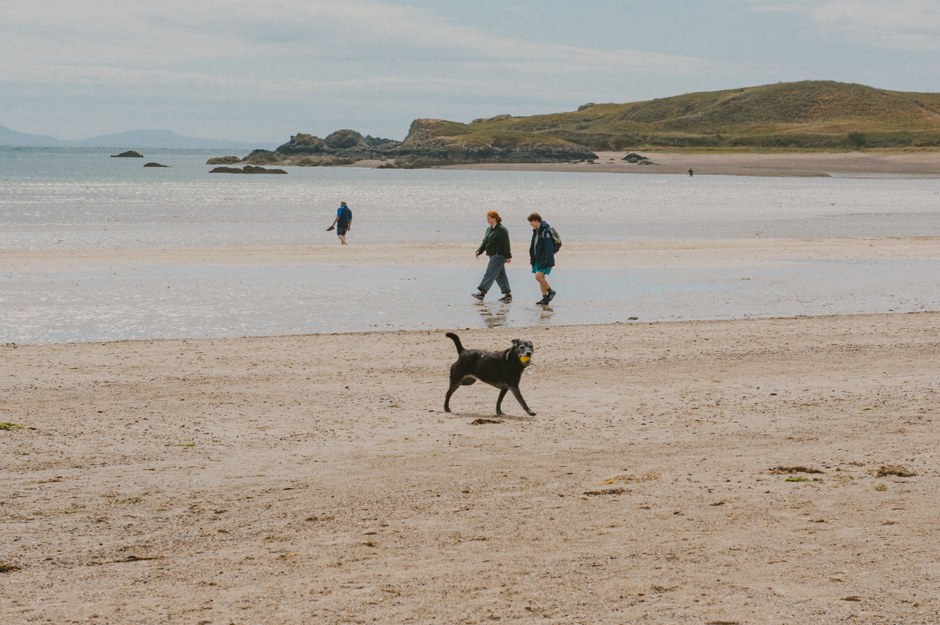
Want to trade fluorescent office lights for salt-crusted skin and dramatic sea cliffs? Skip the overcrowded tourist traps. From the wind-whipped slate headlands of Cornwall to the sun-baked limestone tracks of the Amalfi Coast, here are six definitive, world-class coastal walks that make perfect day trips right now—complete with insider shortcuts, local food pairings, and exact transit tricks. ---
The Hook: Why We Need the Edge of the World
I stepped off the 07:12 commuter train into a wall of damp, brine-soaked fog, my boots crunching against loose shale before the sun had even cleared the horizon. My lungs burned with cold ocean spray—a shock to a system conditioned by air-conditioned trains and fluorescent desk glare. Within twenty minutes, the mist peeled back like silk, revealing a 300-foot drop straight into a churning turquoise amphitheater. In that exact second, every email sitting in my inbox dissolved into irrelevance.
There is a primal psychological recalibration that only happens where land abruptly surrenders to the ocean. Coastal walks aren't just exercise; they are instant mental resets.
Right now, as shoulder-season weather patterns deliver crisp air, low-angled golden light, and clear trails, these six coastal walks offer the ultimate full-day escape. Dust off your boots—here is where you should be walking this weekend.
---
1. Seven Hanging Valleys Trail, Algarve (Portugal)
The Route: Praia da Marinha to Praia do Vale de Centeanes
- Distance: 11.5 km (7.1 miles) round-trip
- Duration: 4–5 hours
- Terrain: Ochre limestone cliffs, eroded sinkholes, packed dirt
``` [Praia da Marinha] ---> [Benagil Ravine] ---> [Carvoeiro Lighthouse] ---> [Vale de Centeanes] ```
The Algarve coast is often maligned for all-inclusive resorts, but the Seven Hanging Valleys Trail remains untouched by concrete development. The path traces a scalloped coastline carved from warm, honey-colored limestone, suspended high above the North Atlantic.
You’ll trek across dry, aromatic scrubland smelling of wild thyme and sea salt, pausing at natural sinkholes (algares) where you can hear subterranean waves roaring far beneath your soles.
``` ___ _ ___/ \___ <- Cliff Edge (200ft drop) / \ / \ / \_____ Sinkhole _____/ \ / (Algar) \ / \___ Ocean Surf ```
Pro-Tip
Skip the overcrowded tour boats at Benagil Cave entirely. Instead, walk the trail early to peak down into the top of the cave via the fenced sinkhole at 08:00 AM, when the light strikes the inner golden sand floor directly without a single kayak in sight.
The Local Fuel
Stop halfway down at O Pescador in Benagil for a plate of amêijoas à Bulhão Pato—fresh carpet-shell clams steamed in white wine, crushed garlic, coriander, and a squeeze of sharp local lemons.
---
2. Path of the Gods (Sentiero degli Dei), Amalfi Coast (Italy)
The Route: Bomerano (Agerola) to Nocelle (Positano)
- Distance: 7.8 km (4.8 miles) point-to-point
- Duration: 3.5 hours
- Terrain: Ancient mule tracks, stone staircases, narrow dirt shelves
``` [Bomerano Village] ---> [Colle la Serra] ---> [Convento di San Domenico] ---> [Nocelle Stairs] ```
While tourists suffer on congested buses along the coastal highway below, high-altitude hikers tread the old transit paths of shepherds and merchants. The Path of the Gods clings to the vertical limestone cliffs of the Lattari Mountains, elevated 500 meters above the Tyrrhenian Sea.
Walking west toward Positano, the view unfolds like a Renaissance painting: terraced lemon groves clinging to vertical rock faces, wild rosemary bushes lining the single-track dirt path, and the blue expanse reaching out toward Capri.
``` ▲ Lattari Mountains / \ / \ [Sentiero degli Dei Trail] / \=================================== Positano View -> / \ / \_________________________________ Tyrrhenian Sea ```
Pro-Tip
Take the early public SITA bus from Amalfi town up to Bomerano. The trail officially starts near Piazza Paolo Capasso. Start hiking no later than 08:30 AM to hit the high points before the midday haze obscures the island of Capri.
The Local Fuel
When you reach the hamlet of Nocelle at the trail's end, skip the first commercial cafe and look for Lemon Point, a tiny rustic kiosk. Order an oversized cup of freshly crushed, slushy granita di limone, made using giant, thick-skinned Amalfi lemons harvested from the terraces you just walked past.
---
3. Howth Cliff Path Loop, County Dublin (Ireland)
The Route: Howth DART Station to Bog of Frogs Loop
- Distance: 12 km (7.5 miles) loop
- Duration: 3 hours
- Terrain: Coastal dirt track, exposed granite edges, heather moorland
``` [Howth DART Station] ---> [Nose of Howth] ---> [Baily Lighthouse] ---> [Bog of Frogs] ---> [Pub] ```
Just 25 minutes north of Dublin’s city center by train lies the rugged peninsula of Howth. This isn't a manicured park walk; it's a raw Irish coastal trail wrapped in wild purple heather, yellow gorse blooming with a scent like sweet coconut, and sharp granite headlands facing the Irish Sea.
The Bog of Frogs loop leads you away from casual day-trippers, sending you along high cliffs past the whitewashed, octagonal Baily Lighthouse—the last lighthouse in Ireland to be automated.
Pro-Tip
When rounding the headland near Lambay Island, keep your eyes on the rocky beaches below. A resident colony of grey seals frequently hauls out onto the gravel bars. Bring a pair of compact 10x42 binoculars.
The Local Fuel
Finish your loop at the harbor and head straight to Beshoff Bros. Grab a newspaper-wrapped bundle of fresh, beer-battered line-caught cod and thick-cut chips doused liberally in malt vinegar. Eat them sitting on the stone harbor wall, but keep an eye out for opportunistic seagulls!
---
4. Tomales Point Trail, Point Reyes National Seashore (California, USA)
The Route: Historic Pierce Point Ranch to Tomales Point
- Distance: 15.1 km (9.4 miles) round-trip
- Duration: 4–5 hours
- Terrain: Packed dirt, sandy ridges, wind-swept coastal scrub
``` [Pierce Point Ranch] ---> [Windy Gap] ---> [Tule Elk Reserve] ---> [Tomales Point Bluff] ```
Located an hour and a half north of San Francisco, the Tomales Point Trail runs along a narrow peninsula separating the Pacific Ocean from the calm waters of Tomales Bay. This narrow land corridor feels like the edge of the continent.
As you hike along the ridge, cold Pacific mist rolls across coastal prairie grass. This fragile ecosystem is home to a thriving herd of wild Tule Elk. During early autumn, the bulls bugle loudly across the canyons—a wild sound echoing over the crashing ocean surf.
``` Tomales Bay (Calm) _____________________________________ / [=====/ Tomales Point Trail Ridge \=====] \_____________________________________ Pacific Ocean (Wild) ```
Pro-Tip
The wind on this peninsula is relentless and deceptive. Even if downtown Sonoma or Marin feels hot, temperatures at the point can plummet dramatically with incoming fog. Dress in three distinct layers: a moisture-wicking base layer, a fleece, and a windproof outer shell.
The Local Fuel
On your drive back down Sir Francis Drake Boulevard, stop at Hog Island Oyster Co. in Marshall. Reserve a picnic table in advance and shuck your own raw, sweet Kumamoto oysters right at the edge of the estuary.
---
5. Tintagel to Boscastle via the South West Coast Path, Cornwall (UK)
The Route: Tintagel Church to Boscastle Harbour
- Distance: 8.5 km (5.3 miles) point-to-point
- Duration: 3 hours
- Terrain: Steep slate ravines, exposed grassy summits, rocky steps
``` [Tintagel Castle] ---> [Rocky Valley] ---> [Willapark Lookout] ---> [Boscastle Fjord] ```
Cornwall's coastline is steeped in dark granite, dark slate, and centuries of maritime legends. This section of the 630-mile South West Coast Path delivers dramatic topography, dropping into steep-sided valleys (coombes) before climbing back onto high slate headlands.
The highlight comes mid-hike at Rocky Valley, where the Trevillet River cuts a narrow gorge through jagged slate rocks, cascading down into a foaming sea inlet.
``` ___ ___ / \ [Coast Path Trail] / \ / \___ _____/ \ / \ / \ / \ / \ / Slate Wall \_____/ Slate Wall \ / Rocky Valley \ /__________________ Stream _______________\ ```
Pro-Tip
The trail features steep roller-coaster climbs out of deep ravines. Use trekking poles to reduce knee strain on the damp, slippery slate steps. If returning to Tintagel, skip the returning bus and catch the local Coaster Service 371, which runs regularly along the coast road.
The Local Fuel
At the end of your trek in Boscastle’s natural fjord-like harbor, head straight to The Harbour Light Tea Room. Order a traditional Cornish cream tea: freshly baked warm buttermilk scones, thick clotted cream, and strawberry jam. Remember the cardinal Cornish rule: jam goes on first, followed by a dollop of clotted cream on top!
---
6. Bondi to Coogee Coastal Walk, Sydney (Australia)
The Route: Bondi Icebergs to Coogee Beach
- Distance: 6 km (3.7 miles) point-to-point
- Duration: 2 hours
- Terrain: Paved boardwalks, sandstone staircases, beach promenades
``` [Bondi Beach] ---> [Tamarama] ---> [Bronte Beach] ---> [Clovelly] ---> [Coogee Beach] ```
If you prefer coastal wilderness blended with urban cafe culture, this world-famous Sydney track is unmatched. Carved directly into dynamic yellow sandstone cliffs, the path links five distinct golden-sand beaches.
You'll stroll past sweeping ocean views, historic Aboriginal rock carvings near Mackenzies Point, and natural sea baths carved right into the rock shelves, where crashing Pacific swells fill public swimming pools with sea water.
``` [Sandstone Cliff Boardwalk] | +---> [Bondi Icebergs Ocean Pool] | +---> [Tamarama Surfing Break] | +---> [Bronte Natural Rock Baths] ```
Pro-Tip
Start your walk at first light (around 06:00 AM). You’ll dodge the afternoon crowds and catch Sydney's dedicated ocean swimmers carving laps in the iconic Bondi Icebergs Pool as the sunrise paints the sky in shades of violet and pink.
The Local Fuel
When you reach Bronte Beach, duck off the path to Bogey Hole Cafe. Order an authentic Australian "flat white" coffee paired with a sweet corn and avocado fritter stack topped with poached eggs and halloumi cheese.
---
Quick Facts & Logistics Comparison
Planning your day trip? Here is a quick reference guide to help you choose the right trail based on your fitness level, budget, and transit options:
| Coastal Walk | Country | Distance | Difficulty | Est. Budget (USD) | How to Get There | | :--- | :--- | :--- | :--- | :--- | :--- | | Seven Hanging Valleys | Portugal | 11.5 km | Moderate | $30–$40 | Uber or regional bus from Lagoa/Faro directly to Praia da Marinha. | | Path of the Gods | Italy | 7.8 km | Moderate–Hard | $20–$35 | SITA Bus from Amalfi town up to Bomerano village square. | | Howth Cliff Path | Ireland | 12 km | Easy–Moderate | $15–$25 | 25-minute DART Train ride north from Dublin Connolly Station. | | Tomales Point Trail | USA | 15.1 km | Moderate | $40–$60 | Personal or rental car via Highway 1 to Pierce Point Road parking lot. | | Tintagel to Boscastle | UK | 8.5 km | Hard (Steep) | $25–$35 | First Kernow Bus 371 from Wadebridge/Newquay to Tintagel. | | Bondi to Coogee | Australia | 6.0 km | Easy | $15–$30 | 333 Bus from Sydney CBD (Circular Quay) directly to Bondi Beach. |
---
Essential Packing List for Coastal Hikes
Never underestimate coastal microclimates. Weather at the ocean edge can shift within minutes. Pack these items in your daypack regardless of the morning forecast:
- Windproof Shell: Ocean winds strip body heat fast. Carry a lightweight, packable jacket.
- High-SPF Mineral Sunscreen: UV radiation amplifies significantly when bouncing off ocean water.
- Electrolyte Packets: Salt air and constant sun exposure cause subtle, rapid dehydration.
- Grip-Focused Footwear: Wet slate, sandy sandstone, and loose limestone demand shoes with sticky rubber lugs (trail runners are ideal).
- Compact Dry Bag: Protect your electronics, car keys, and dry socks from sudden sea spray or rogue waves.
---
Final Thoughts
You don't need a three-week expedition to clear your mind and experience raw nature. Sometimes, all it takes is a single morning train ticket, a sturdy pair of boots, and a single day spent walking high above the sea. Choose a route above, check the tide tables, pack your windbreaker, and hit the trail this weekend!
---
More pictures
Tags
Share this guide
We may earn a commission if you click a link and buy a product or service, at no extra cost to you. How affiliate links work.
Been there?